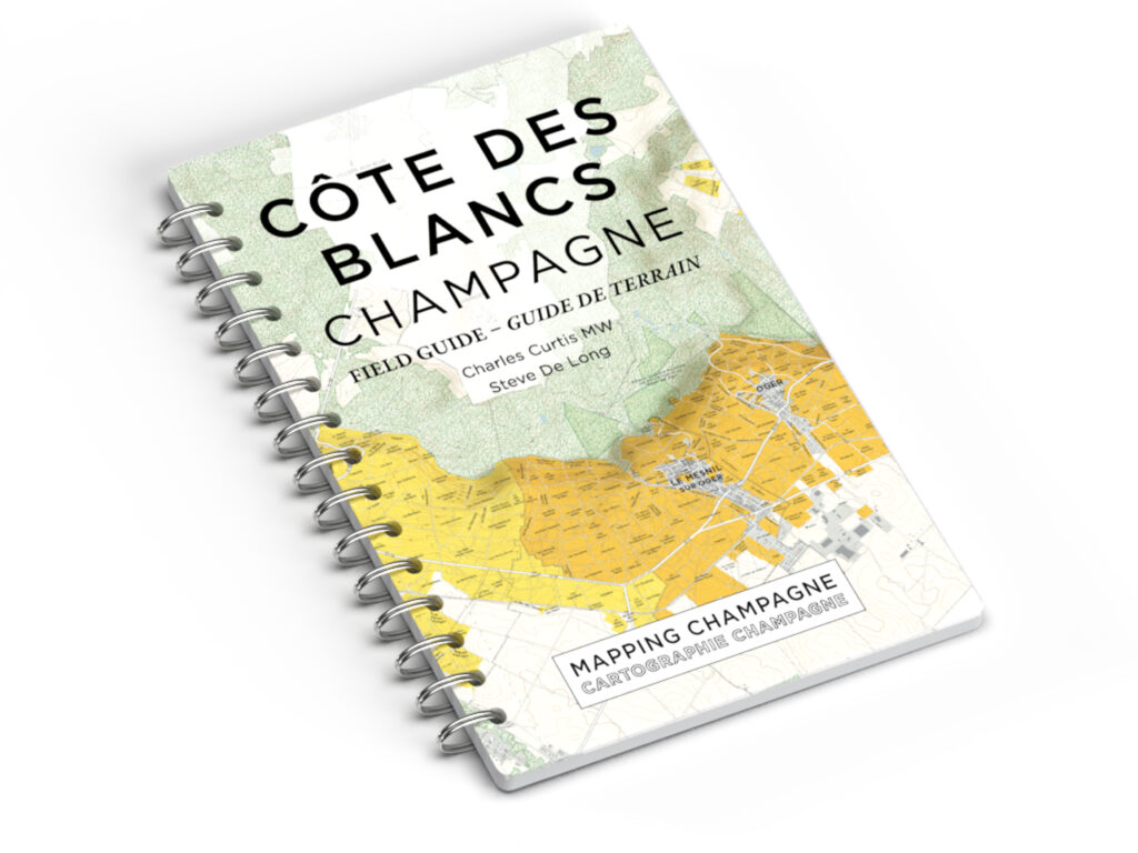
80 years after the work of cartographer Louis LARMAT, master of Wine Charles Curtis (author of Vintage Champagne: 1899 to 2019) and prolific wine cartographer Steve De Long have published a first collection
of detailed maps of the Champagne region.
Estimated reading time: 6 minutes
Oddly enough, this mythical appellation, one of the most renowned in the world, had no current maps of its vineyards until today. The impressive work of Charles CURTIS MW and Steve DE LONG fills the gap. MAPPING CHAMPAGNE offersvaluable and exciting new tools to Champagne professionals,Champagne lovers and the entire internationalwine community.
A PARADOXAL VOID
This new collection is a small revolution for the world of Champagne. Indeed, most of the vineyards in France have long had detailed and documented maps of their vineyards, but this is not the case for Champagne.
This mythical appellation, one of the most renowned in the world, had no current maps of its vineyards until today.
The last time that its vineyards were mapped in detail was by the legendary French cartographer Louis LARMAT in the 1940s. This valuable work has unfortunately been rendered obsolete by the rapid expansion of the vineyards after the Second World War, with the doubling of the appellation area between 1946 and 1975.
Although the Champagne region has tended to emphasize the tradition of blending wines, without communicating the particularities of the terroirs, knowledge of the parcels has always been cultivated and passed on by the Chefs de Caves.